
Muskoka District Maps circa 1890
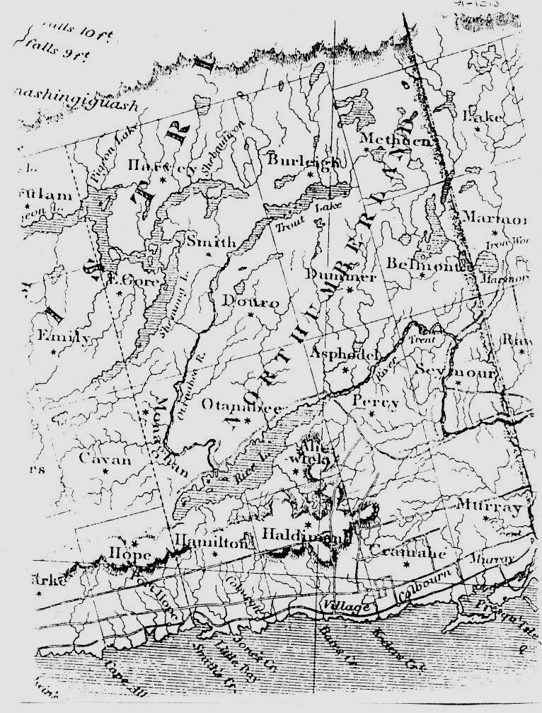
Newcastle District Region circ a 1830
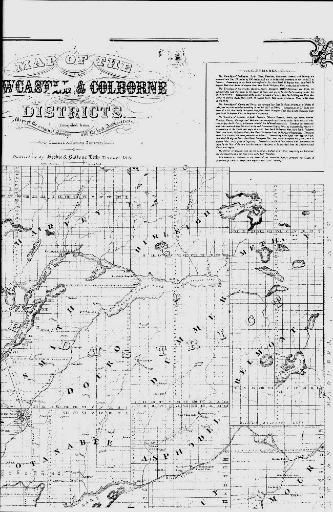
Newcastle District Townships (1848) Northeast Region
Newcastle District Townships (1848) Northwest Region
Newcastle District Townships (1848) Southeast Region
Newcastle District Townships (1848) Southwest Region
Muskoka and Parry Sound Region circa 1891
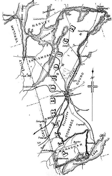
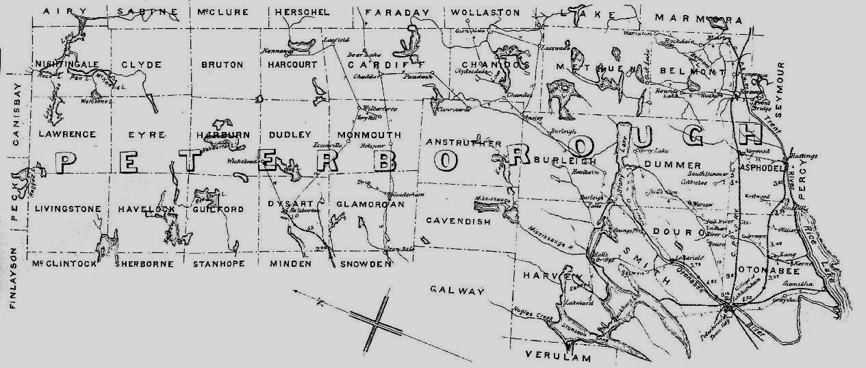
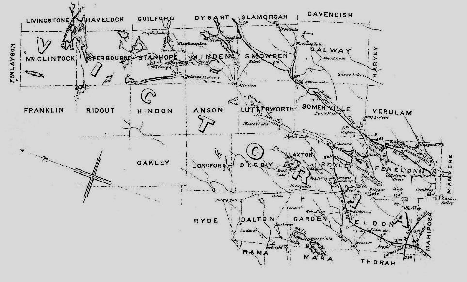
Peterborough County West circa 1891
Peterborough County East circa 1891
Hastings County North circa 1891
Hastings County East circa 1891
Hastings County West circa 1891
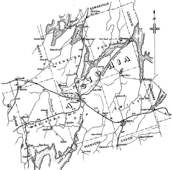
Victoria County South circa 1891
Victoria County North circa 1891
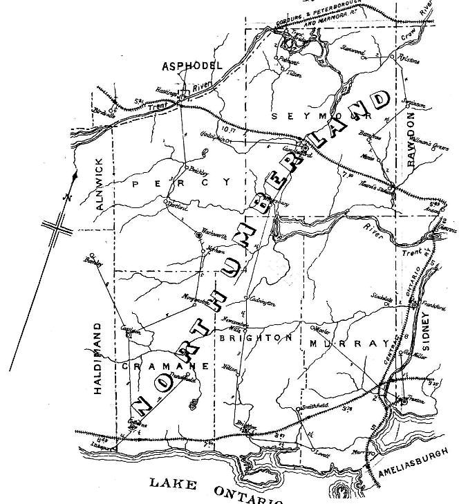
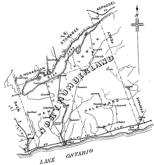
Northumberland County East circa 1891
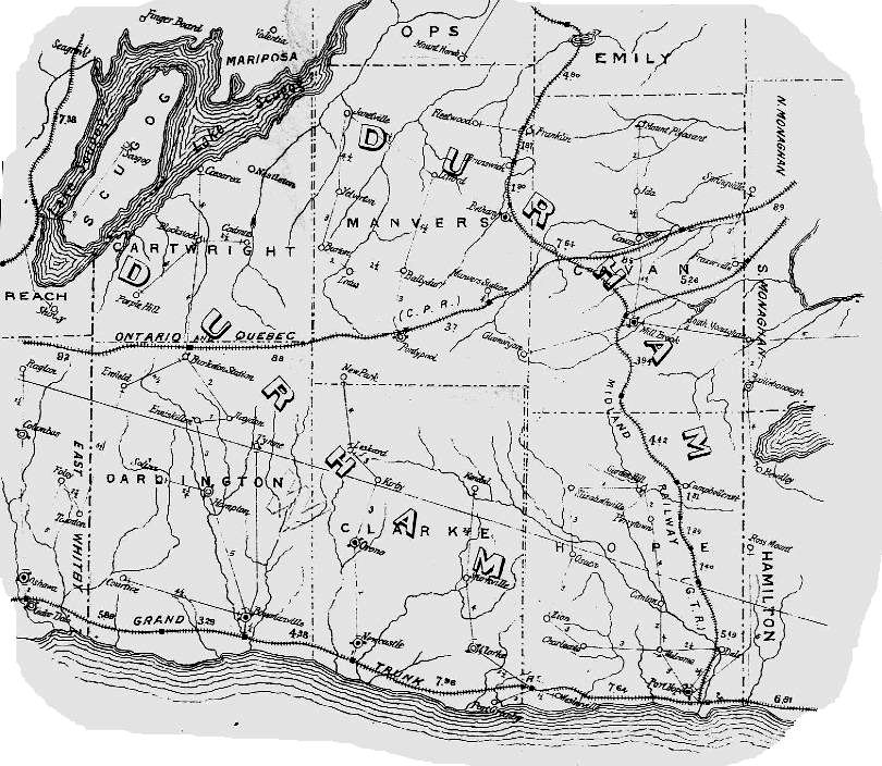
Ontario County North Map includes several Townships of South Muskoka District
Return to Victoria County GenWeb Page
Return to Durham County Genweb Page
Visit theUpper Canada / Ontario Database Page